Unlock your geospatial insights with secure AI-driven analysis.
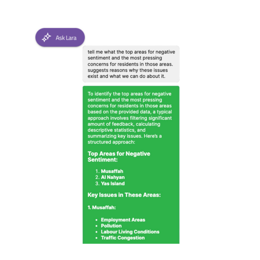
LARA empowers users to analyse large spatial datasets securely and safely from within your dashboard and visualise the responses to understand large amounts of data.
Whether you’re delving into urban metrics like liveability, sentiment data supplied by SilaCities or needing to do analysis of GIS-based data (like geoJSON, shapefiles or databases) LARA provides actionable insights to drive informed decision-making.
Maximise the potential of your urban analysis.
LARA is unique to each deployment, meaning your data is secure. SilaCities’ links your data for you, connecting GIS-style data to tabular formats through to documents, allowing for you to analyse information in new ways.
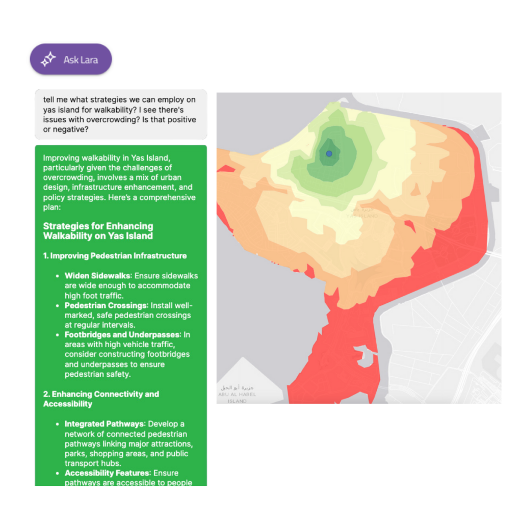
We can produce outputs that can render mapping results from the queries if required. In most cases, this is available only on SilaCities’ proprietary platform, with exports available to most major GIS software so you can get on with your analysis.


Empowering understanding with technology.
Trained on research layers and geospatial embeddings, LARA performs accurate calculations but can also have GPT-4o-style conversations, delivering results with precision and efficiency, secure data, and an intuitive user interface.
Extensions allowing LARA to plot spatial information bring new dimensions to data analysis, saving countless hours.
Simple and intuitive interface that adaptable for your needs.
LARA is used to review and analyse data within a given data set, this can be your data or the data you get from ours.
Fully integrated across our platforms, you can rest assured that your LARA instance is simple, and intuitive, and best of all, secure.
This means you can easily upload datasets, ask questions, and receive insights in real-time.

Get in touch and see how LARA works.
Experience the future of spatial data analysis with LARA – where cutting-edge spatial and LLM technology meets user-friendly design to unlock the true potential of your own, and third-party, data.


