Enhance an elevate your GIS data for smarter urban planning.
SilaCities integrates advanced AI solutions to enrich GIS data, providing a deeper understanding of urban environments.
Our tools connect various data sources, delivering comprehensive insights that enhance spatial analysis and urban planning.
Why choose SilaCities for GIS enrichment?
- Comprehensive Data Integration: Combine diverse data sources for a holistic view of urban environments.
- Advanced Spatial Analysis: Enrich your GIS datasets with AI-driven insights for more accurate analysis.
- Real-Time Insights: Access real-time data to stay updated with the latest urban dynamics.
- Enhanced Decision-Making: Make informed planning decisions with enriched and comprehensive GIS data.
Understanding Urban Dynamics:
Leverage SilaCities’ AI to gain a nuanced understanding of urban dynamics.
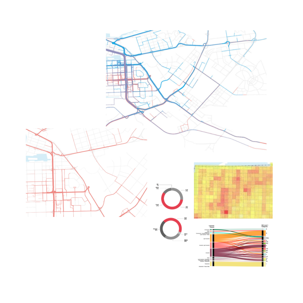
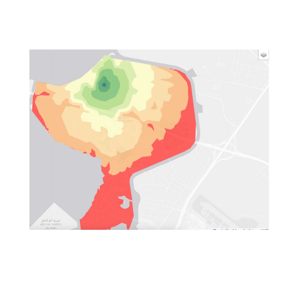
Our tools analyze social media, traffic patterns, and environmental data to provide real-time insights into how cities move and operate.


Connecting Diverse Data Sources:
SilaCities seamlessly integrates data from multiple sources, including social media, census data, and transportation data, enriching your GIS datasets.
This holistic approach ensures that your spatial analysis is comprehensive and accurate.
Enriching GIS for Enhanced Analysis:
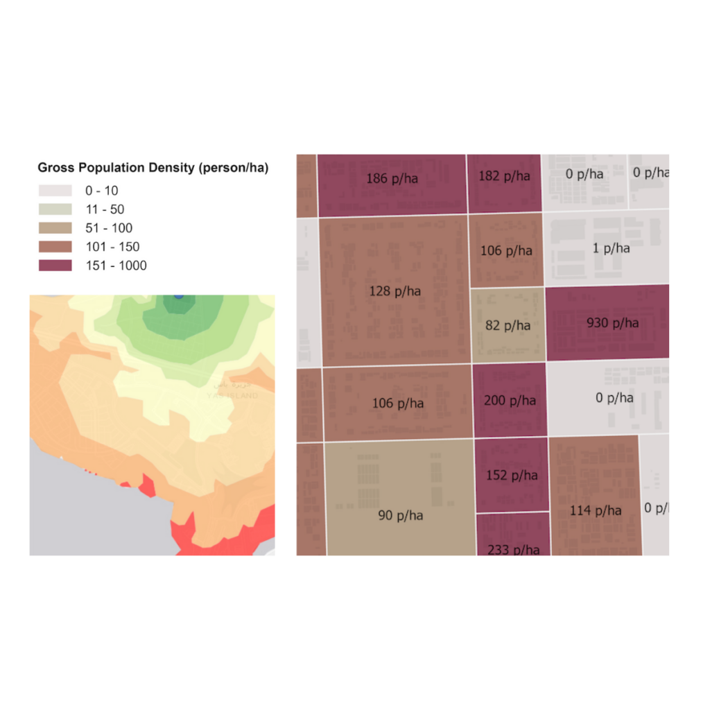
Our AI-driven models enrich GIS data by adding layers of social and demographic insights.
This enriched data enables you to perform more detailed and accurate spatial analyses, leading to better-informed urban planning decisions.
Utilise our advanced visualisation tools to present enriched GIS data in intuitive and actionable formats. Our integration with platforms like ArcGIS ensures you can easily visualise and analyse complex urban data.

Partner with SilaCities.
Ready to enrich your GIS data with SilaCities? Contact us today to learn how our AI-driven solutions can enhance your spatial analysis and urban planning.


